Guide Stone; Thornthwaite Parish
Introduction
The photograph on this page of Guide Stone; Thornthwaite Parish by David Rogers as part of the Geograph project.
The Geograph project started in 2005 with the aim of publishing, organising and preserving representative images for every square kilometre of Great Britain, Ireland and the Isle of Man.

There are currently over 7.5m images from over 14,400 individuals and you can help contribute to the project by visiting https://www.geograph.org.uk
Guide Stone; Thornthwaite Parish
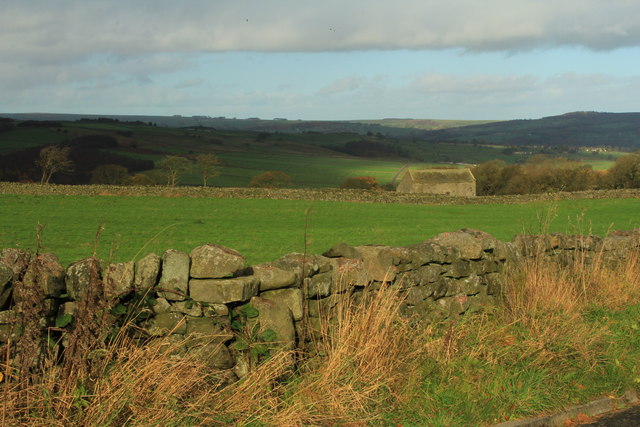
Image: © David Rogers Taken: 16 Nov 2015
set in wall at the junction of Day Lane with Menwith Hill Road. Image
Images are licensed for reuse under creativecommons.org/licenses/by-sa/2.0
Image Location
Latitude
54.013015
Longitude
-1.723301