Bellman's Wood Recumbent Stone Circle (4)
Introduction
The photograph on this page of Bellman's Wood Recumbent Stone Circle (4) by Anne Burgess as part of the Geograph project.
The Geograph project started in 2005 with the aim of publishing, organising and preserving representative images for every square kilometre of Great Britain, Ireland and the Isle of Man.

There are currently over 7.5m images from over 14,400 individuals and you can help contribute to the project by visiting https://www.geograph.org.uk
Bellman's Wood Recumbent Stone Circle (4)
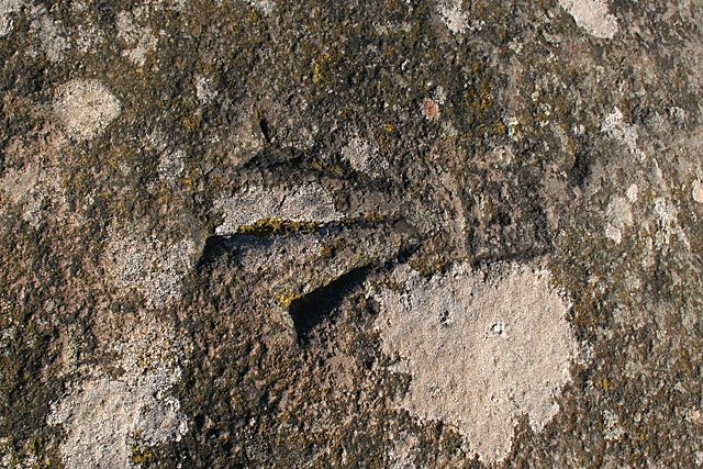
Image: © Anne Burgess Taken: 16 Nov 2015
This Ordnance Survey bench mark has been carved, in what archaeologists have described as an act of vandalism, on the upper surface of the fallen west flanker of the stone circle. See https://canmore.org.uk/site/18427/bellmans-wood for more information. Image]
Images are licensed for reuse under creativecommons.org/licenses/by-sa/2.0
Image Location
Latitude
57.542077
Longitude
-2.662163