Beddow Close, Castlefields, Shrewsbury
Introduction
The photograph on this page of Beddow Close, Castlefields, Shrewsbury by Jaggery as part of the Geograph project.
The Geograph project started in 2005 with the aim of publishing, organising and preserving representative images for every square kilometre of Great Britain, Ireland and the Isle of Man.

There are currently over 7.5m images from over 14,400 individuals and you can help contribute to the project by visiting https://www.geograph.org.uk
Beddow Close, Castlefields, Shrewsbury
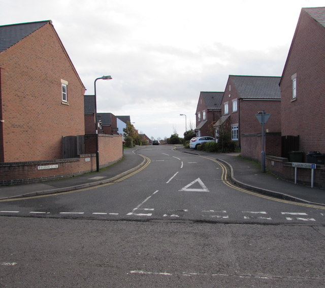
Image: © Jaggery Taken: 16 Nov 2015
Cul-de-sac viewed across the St Michael's Street, opposite the Dolphin Inn. http://www.geograph.org.uk/photo/4742809
Images are licensed for reuse under creativecommons.org/licenses/by-sa/2.0
Image Location
Latitude
52.716633
Longitude
-2.744734