Pen-rhiw Bengi Lane, Oakdale
Introduction
The photograph on this page of Pen-rhiw Bengi Lane, Oakdale by M J Roscoe as part of the Geograph project.
The Geograph project started in 2005 with the aim of publishing, organising and preserving representative images for every square kilometre of Great Britain, Ireland and the Isle of Man.

There are currently over 7.5m images from over 14,400 individuals and you can help contribute to the project by visiting https://www.geograph.org.uk
Pen-rhiw Bengi Lane, Oakdale
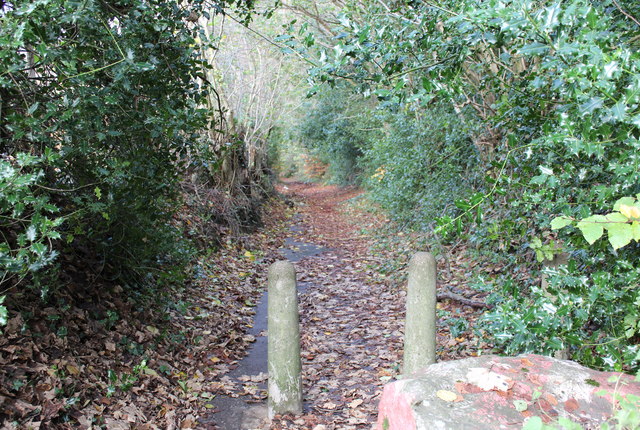
Image: © M J Roscoe Taken: 16 Nov 2015
The lane is now a cul-de-sac and this lower section is closed to vehicular traffic. In the past it dipped down to the valley floor and up to Gwrhay.
Images are licensed for reuse under creativecommons.org/licenses/by-sa/2.0
Image Location
Latitude
51.682879
Longitude
-3.175759