Graveyard, Kingsbury
Introduction
The photograph on this page of Graveyard, Kingsbury by Robin Webster as part of the Geograph project.
The Geograph project started in 2005 with the aim of publishing, organising and preserving representative images for every square kilometre of Great Britain, Ireland and the Isle of Man.

There are currently over 7.5m images from over 14,400 individuals and you can help contribute to the project by visiting https://www.geograph.org.uk
Graveyard, Kingsbury
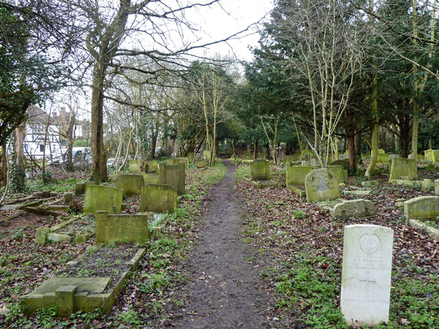
Image: © Robin Webster Taken: 12 Feb 2011
Associated with the disused but preserved Old St. Andrew's church. There is a war grave on the right, a member of the Army Catering Corps who died in 1941.
Images are licensed for reuse under creativecommons.org/licenses/by-sa/2.0
Image Location


Leaflet Map data © OpenStreetMap
Latitude
51.567882
Longitude
-0.259779