Atherton Lane, Totnes
Introduction
The photograph on this page of Atherton Lane, Totnes by Derek Harper as part of the Geograph project.
The Geograph project started in 2005 with the aim of publishing, organising and preserving representative images for every square kilometre of Great Britain, Ireland and the Isle of Man.

There are currently over 7.5m images from over 14,400 individuals and you can help contribute to the project by visiting https://www.geograph.org.uk
Atherton Lane, Totnes
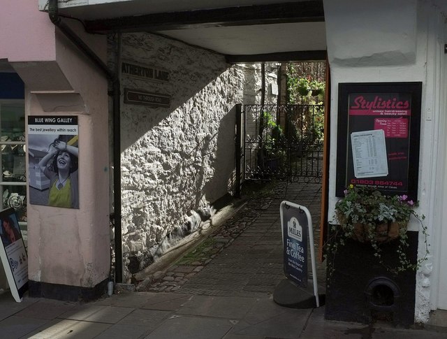
Image: © Derek Harper Taken: 13 Nov 2015
Totnes has several awkward back streets, but this one is more or less off limits, with a gate across as soon as you've negotiated the passage beneath 56, Fore Street. The sunlit wall belongs to number 54 http://www.historicengland.org.uk/listing/the-list/list-entry/1264832 .
Images are licensed for reuse under creativecommons.org/licenses/by-sa/2.0
Image Location
Latitude
50.431226
Longitude
-3.685993