Houses on Rotherfold, Totnes
Introduction
The photograph on this page of Houses on Rotherfold, Totnes by Derek Harper as part of the Geograph project.
The Geograph project started in 2005 with the aim of publishing, organising and preserving representative images for every square kilometre of Great Britain, Ireland and the Isle of Man.

There are currently over 7.5m images from over 14,400 individuals and you can help contribute to the project by visiting https://www.geograph.org.uk
Houses on Rotherfold, Totnes
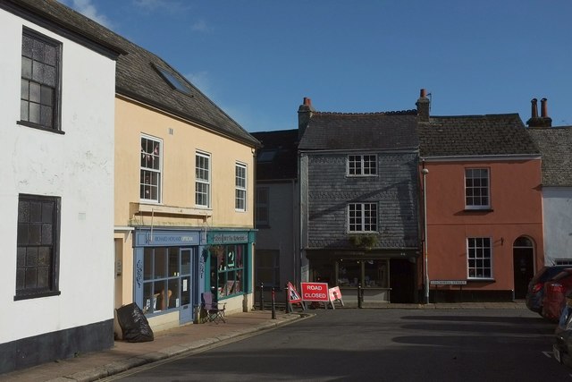
Image: © Derek Harper Taken: 13 Nov 2015
Although the houses facing the camera are actually on Leechwell Street (see also Image), and the building on the immediate left is a pub, the Bull Inn Image the roadworks signs also appear in Image
Images are licensed for reuse under creativecommons.org/licenses/by-sa/2.0
Image Location
Latitude
50.430431
Longitude
-3.691174