Road sign beside A691 entering Shotley Bridge
Introduction
The photograph on this page of Road sign beside A691 entering Shotley Bridge by Trevor Littlewood as part of the Geograph project.
The Geograph project started in 2005 with the aim of publishing, organising and preserving representative images for every square kilometre of Great Britain, Ireland and the Isle of Man.

There are currently over 7.5m images from over 14,400 individuals and you can help contribute to the project by visiting https://www.geograph.org.uk
Road sign beside A691 entering Shotley Bridge
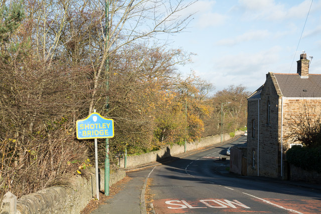
Image: © Trevor Littlewood Taken: 16 Nov 2015
The River Derwent which forms the boundary between Northumberland and County Durham lies just over the wall beside the road sign. That blue and yellow sign tells that this side is the Durham side.
Images are licensed for reuse under creativecommons.org/licenses/by-sa/2.0
Image Location
Latitude
54.866479
Longitude
-1.860835