Three new houses, Deadmans Lane
Introduction
The photograph on this page of Three new houses, Deadmans Lane by John Baker as part of the Geograph project.
The Geograph project started in 2005 with the aim of publishing, organising and preserving representative images for every square kilometre of Great Britain, Ireland and the Isle of Man.

There are currently over 7.5m images from over 14,400 individuals and you can help contribute to the project by visiting https://www.geograph.org.uk
Three new houses, Deadmans Lane
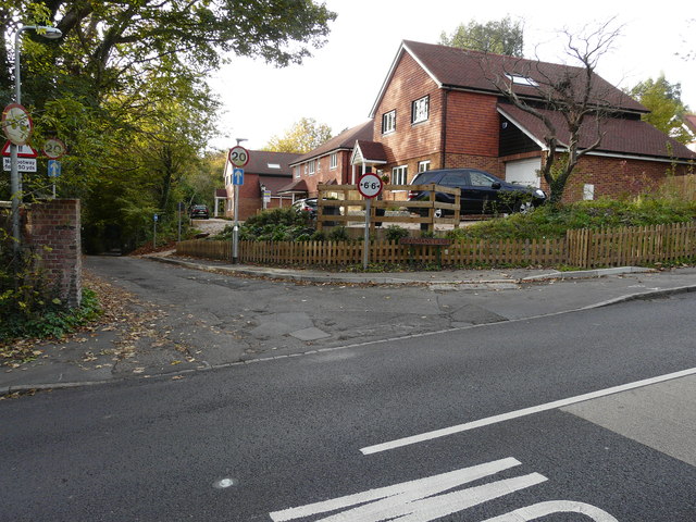
Image: © John Baker Taken: 25 Oct 2015
In August 2014 this was a Image Now three houses have been built as described in Rother District Council’s planning application RR/2012/374/P as the “proposed formation of new vehicular access and the erection of 3 dwellings on the land north of Deadmans Lane, Rye, TN31 7HW”.
Images are licensed for reuse under creativecommons.org/licenses/by-sa/2.0
Image Location
Latitude
50.956375
Longitude
0.735131