Former Alms Houses at Ballycrune Crossroads
Introduction
The photograph on this page of Former Alms Houses at Ballycrune Crossroads by Eric Jones as part of the Geograph project.
The Geograph project started in 2005 with the aim of publishing, organising and preserving representative images for every square kilometre of Great Britain, Ireland and the Isle of Man.

There are currently over 7.5m images from over 14,400 individuals and you can help contribute to the project by visiting https://www.geograph.org.uk
Former Alms Houses at Ballycrune Crossroads
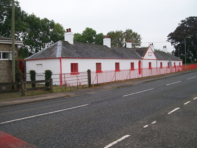
Image: © Eric Jones Taken: 31 Oct 2015
These were built in the 1830s.
Images are licensed for reuse under creativecommons.org/licenses/by-sa/2.0
Image Location
Latitude
54.437526
Longitude
-6.00242