Field at Kenny
Introduction
The photograph on this page of Field at Kenny by Derek Harper as part of the Geograph project.
The Geograph project started in 2005 with the aim of publishing, organising and preserving representative images for every square kilometre of Great Britain, Ireland and the Isle of Man.

There are currently over 7.5m images from over 14,400 individuals and you can help contribute to the project by visiting https://www.geograph.org.uk
Field at Kenny
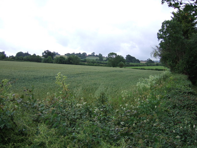
Image: © Derek Harper Taken: 21 Jun 2007
A wheatfield beside the former A358 near Ashill, which borders Venner's Water around the corner on the right. In the background is Windmill Hill.
Images are licensed for reuse under creativecommons.org/licenses/by-sa/2.0
Image Location
Latitude
50.953742
Longitude
-2.976591