Worsaw and Pendle Hills
Introduction
The photograph on this page of Worsaw and Pendle Hills by Carroll Pierce as part of the Geograph project.
The Geograph project started in 2005 with the aim of publishing, organising and preserving representative images for every square kilometre of Great Britain, Ireland and the Isle of Man.

There are currently over 7.5m images from over 14,400 individuals and you can help contribute to the project by visiting https://www.geograph.org.uk
Worsaw and Pendle Hills
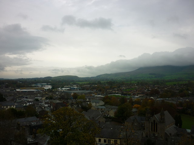
Image: © Carroll Pierce Taken: 5 Nov 2015
Taken from the north eastern section of the curtain wall at Clitheroe Castle, Clitheroe, Lancashire, I am looking across to Pendle Hill with the more modest Worsaw Hill to the west just before Downham.
Images are licensed for reuse under creativecommons.org/licenses/by-sa/2.0
Image Location
Latitude
53.872694
Longitude
-2.382466