Kingskerswell Road
Introduction
The photograph on this page of Kingskerswell Road by Derek Harper as part of the Geograph project.
The Geograph project started in 2005 with the aim of publishing, organising and preserving representative images for every square kilometre of Great Britain, Ireland and the Isle of Man.

There are currently over 7.5m images from over 14,400 individuals and you can help contribute to the project by visiting https://www.geograph.org.uk
Kingskerswell Road
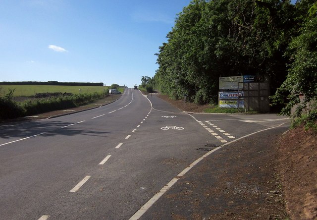
Image: © Derek Harper Taken: 5 Jun 2015
A reverse view of Image, with the old road on the right now converted to a cycle and footpath - see also Image On the extreme right is the entrance to Buckland Athletic Football Club on Homers Heath. The Toolstation reference is to the fact that the team play in the Toolstation Western League Premier Division.
Images are licensed for reuse under creativecommons.org/licenses/by-sa/2.0
Image Location
Latitude
50.514256
Longitude
-3.595433