Farm track descending between hedges
Introduction
The photograph on this page of Farm track descending between hedges by Trevor Littlewood as part of the Geograph project.
The Geograph project started in 2005 with the aim of publishing, organising and preserving representative images for every square kilometre of Great Britain, Ireland and the Isle of Man.

There are currently over 7.5m images from over 14,400 individuals and you can help contribute to the project by visiting https://www.geograph.org.uk
Farm track descending between hedges
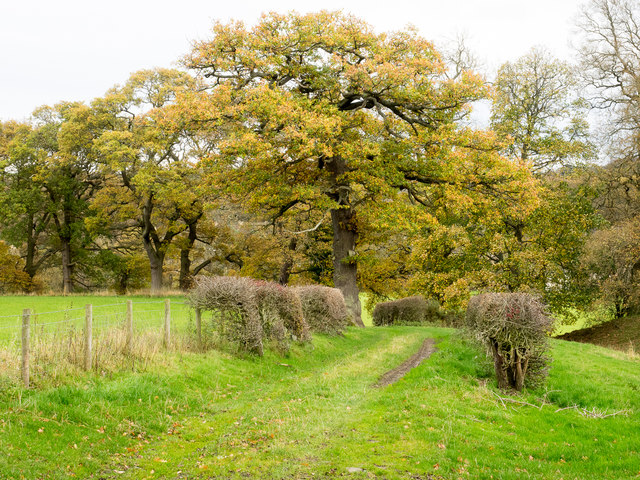
Image: © Trevor Littlewood Taken: 14 Nov 2015
The grassed farm track is going downhill towards the River Derwent. The river forms the boundary between two counties - roofs can be seen vaguely between the trees; they are in Shotley Bridge, County Durham whilst the camera position is in Northumberland.
Images are licensed for reuse under creativecommons.org/licenses/by-sa/2.0
Image Location
Latitude
54.871875
Longitude
-1.864868