Buntingford from the air
Introduction
The photograph on this page of Buntingford from the air by M J Richardson as part of the Geograph project.
The Geograph project started in 2005 with the aim of publishing, organising and preserving representative images for every square kilometre of Great Britain, Ireland and the Isle of Man.

There are currently over 7.5m images from over 14,400 individuals and you can help contribute to the project by visiting https://www.geograph.org.uk
Buntingford from the air
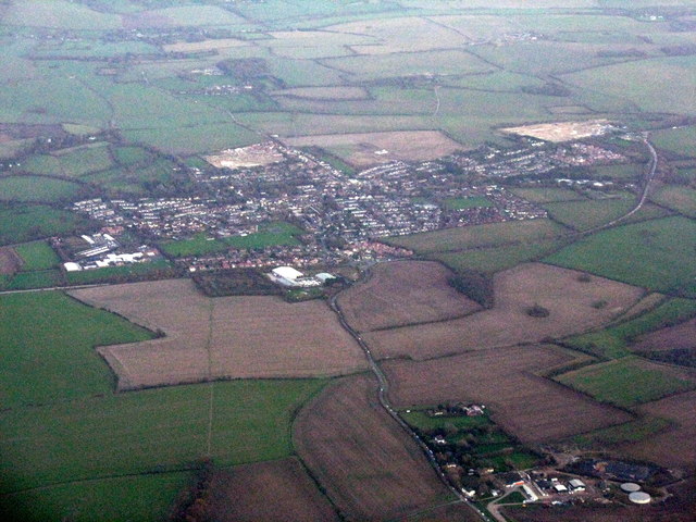
Image: © M J Richardson Taken: 13 Nov 2015
Looking east, with the A10 skirting round the west side of the village. A rather poor view in overcast evening light.
Images are licensed for reuse under creativecommons.org/licenses/by-sa/2.0
Image Location
Latitude
51.945703
Longitude
-0.029993