Devonshire Road Heaton
Introduction
The photograph on this page of Devonshire Road Heaton by Nigel Mykura as part of the Geograph project.
The Geograph project started in 2005 with the aim of publishing, organising and preserving representative images for every square kilometre of Great Britain, Ireland and the Isle of Man.

There are currently over 7.5m images from over 14,400 individuals and you can help contribute to the project by visiting https://www.geograph.org.uk
Devonshire Road Heaton
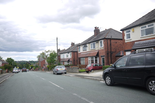
Image: © Nigel Mykura Taken: 3 Sep 2015
View south down Devonshire Road towards the junction with Lonsdale Rd. The junction with Lowndes St is just behind the photographer. Most of the houses are between the wars semi-detached red brick houses.
Images are licensed for reuse under creativecommons.org/licenses/by-sa/2.0
Image Location
Latitude
53.58291
Longitude
-2.460805