River Wear at Wolsingham - 2
Introduction
The photograph on this page of River Wear at Wolsingham - 2 by Trevor Littlewood as part of the Geograph project.
The Geograph project started in 2005 with the aim of publishing, organising and preserving representative images for every square kilometre of Great Britain, Ireland and the Isle of Man.

There are currently over 7.5m images from over 14,400 individuals and you can help contribute to the project by visiting https://www.geograph.org.uk
River Wear at Wolsingham - 2
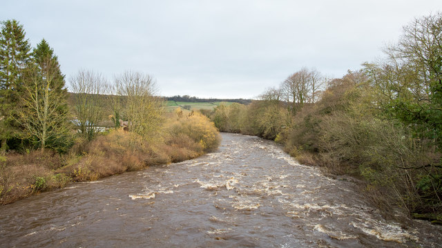
Image: © Trevor Littlewood Taken: 15 Nov 2015
At the time this image was recorded (mid-November 2015) there were many flood warnings and alerts in force across northern England though most of them applied to the west rather than here, in the east. The River Wear is flowing at a fair rate - quite above its normal level - but well below what has been seen in the past.
Images are licensed for reuse under creativecommons.org/licenses/by-sa/2.0
Image Location
Latitude
54.726944
Longitude
-1.884603