Housing construction, Upper Hill Street, Blaenavon
Introduction
The photograph on this page of Housing construction, Upper Hill Street, Blaenavon by Jaggery as part of the Geograph project.
The Geograph project started in 2005 with the aim of publishing, organising and preserving representative images for every square kilometre of Great Britain, Ireland and the Isle of Man.

There are currently over 7.5m images from over 14,400 individuals and you can help contribute to the project by visiting https://www.geograph.org.uk
Housing construction, Upper Hill Street, Blaenavon
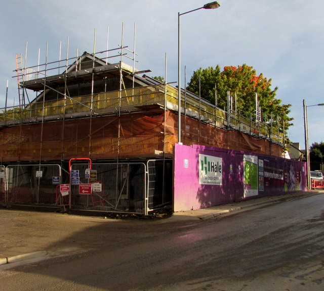
Image: © Jaggery Taken: 23 Sep 2015
In September 2015 housing is being built on the site of a demolished school.
Images are licensed for reuse under creativecommons.org/licenses/by-sa/2.0
Image Location
Latitude
51.774973
Longitude
-3.079881