Halberton : St Andrew's Church
Introduction
The photograph on this page of Halberton : St Andrew's Church by Lewis Clarke as part of the Geograph project.
The Geograph project started in 2005 with the aim of publishing, organising and preserving representative images for every square kilometre of Great Britain, Ireland and the Isle of Man.

There are currently over 7.5m images from over 14,400 individuals and you can help contribute to the project by visiting https://www.geograph.org.uk
Halberton : St Andrew's Church
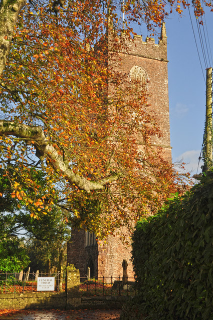
Image: © Lewis Clarke Taken: 13 Nov 2015
The Parish of Halberton, one of the largest in area in Devon, was formerly of considerable importance, being a Hundred. In the Domesday Survey of 1086, where it was called Halsbretone, it is rated at £27 and comes under "the Lands of Queen Matilda".
Images are licensed for reuse under creativecommons.org/licenses/by-sa/2.0
Image Location
Latitude
50.906611
Longitude
-3.416229