SW parapet of Kirkby Thore Bridge for A66 over Trout Beck
Introduction
The photograph on this page of SW parapet of Kirkby Thore Bridge for A66 over Trout Beck by Roger Templeman as part of the Geograph project.
The Geograph project started in 2005 with the aim of publishing, organising and preserving representative images for every square kilometre of Great Britain, Ireland and the Isle of Man.

There are currently over 7.5m images from over 14,400 individuals and you can help contribute to the project by visiting https://www.geograph.org.uk
SW parapet of Kirkby Thore Bridge for A66 over Trout Beck
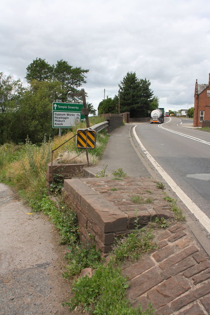
Image: © Roger Templeman Taken: 23 Jul 2015
The parapet may have been modified with the installation of a crash barrier since the Ordnance Survey installed a survey bolt on it in 1972, http://www.bench-marks.org.uk/bm28394. There is an Environment Agent Bench Mark bolt in place
Images are licensed for reuse under creativecommons.org/licenses/by-sa/2.0
Image Location
Latitude
54.621518
Longitude
-2.566322