
Looking across Cobham Valleys
Introduction
The photograph on this page of Looking across Cobham Valleys by Marathon as part of the Geograph project.
The Geograph project started in 2005 with the aim of publishing, organising and preserving representative images for every square kilometre of Great Britain, Ireland and the Isle of Man.

There are currently over 7.5m images from over 14,400 individuals and you can help contribute to the project by visiting https://www.geograph.org.uk
Looking across Cobham Valleys
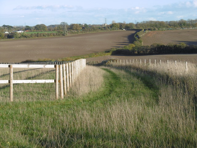
Image: © Marathon Taken: 13 Nov 2015
Park Hill connects the busy A227 (Wrotham Road) with Longfield Hill on the B260. It dips down to Cobham Valleys where the road can get waterlogged and up to where this photograph was taken. Cobham Valleys is some way from the village of Cobham and I am not sure why it is plural. On the horizon in the centre of the photograph is the isolated Nurstead Church - see http://www.geograph.org.uk/photo/3300718 and the nearby oast house is just to its left - see http://www.geograph.org.uk/photo/3124061
Images are licensed for reuse under creativecommons.org/licenses/by-sa/2.0
Image Location

Latitude
51.390731
Longitude
0.348405