Chapel Street, Caersws
Introduction
The photograph on this page of Chapel Street, Caersws by Jaggery as part of the Geograph project.
The Geograph project started in 2005 with the aim of publishing, organising and preserving representative images for every square kilometre of Great Britain, Ireland and the Isle of Man.

There are currently over 7.5m images from over 14,400 individuals and you can help contribute to the project by visiting https://www.geograph.org.uk
Chapel Street, Caersws
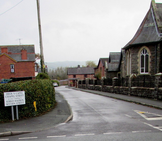
Image: © Jaggery Taken: 4 Nov 2015
The bilingual (Welsh and English) sign on the corner of Main Street shows that Chapel Street leads to Severn Street. Caersws Presbyterian Church http://www.geograph.org.uk/photo/4728753 is on the right.
Images are licensed for reuse under creativecommons.org/licenses/by-sa/2.0
Image Location
Latitude
52.516639
Longitude
-3.426915