Round bales, Leys of Boysack
Introduction
The photograph on this page of Round bales, Leys of Boysack by Richard Webb as part of the Geograph project.
The Geograph project started in 2005 with the aim of publishing, organising and preserving representative images for every square kilometre of Great Britain, Ireland and the Isle of Man.

There are currently over 7.5m images from over 14,400 individuals and you can help contribute to the project by visiting https://www.geograph.org.uk
Round bales, Leys of Boysack
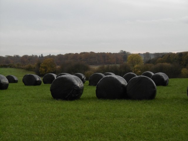
Image: © Richard Webb Taken: 11 Nov 2015
Silage bales still in the field. The trackbed of the Arbroath and Forfar Railway is in the background, south of the site of Leysmill Station.
Images are licensed for reuse under creativecommons.org/licenses/by-sa/2.0
Image Location
Latitude
56.618095
Longitude
-2.63612