Bridge Street
Introduction
The photograph on this page of Bridge Street by Bob Harvey as part of the Geograph project.
The Geograph project started in 2005 with the aim of publishing, organising and preserving representative images for every square kilometre of Great Britain, Ireland and the Isle of Man.

There are currently over 7.5m images from over 14,400 individuals and you can help contribute to the project by visiting https://www.geograph.org.uk
Bridge Street
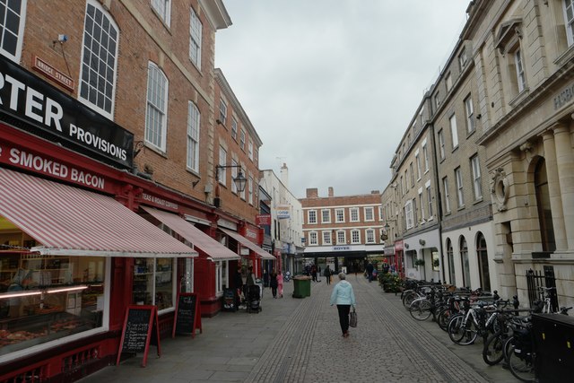
Image: © Bob Harvey Taken: 15 Oct 2015
The fine brick Georgian buildings on the left are grade II listed: https://www.historicengland.org.uk/listing/the-list/list-entry/1196038 Further along on the left are another group of shops, also grade II listed https://www.historicengland.org.uk/listing/the-list/list-entry/1196039
Images are licensed for reuse under creativecommons.org/licenses/by-sa/2.0
Image Location
Latitude
53.075907
Longitude
-0.808197