Springfields: Wheatly Avenue
Introduction
The photograph on this page of Springfields: Wheatly Avenue by Jonathan Hutchins as part of the Geograph project.
The Geograph project started in 2005 with the aim of publishing, organising and preserving representative images for every square kilometre of Great Britain, Ireland and the Isle of Man.

There are currently over 7.5m images from over 14,400 individuals and you can help contribute to the project by visiting https://www.geograph.org.uk
Springfields: Wheatly Avenue
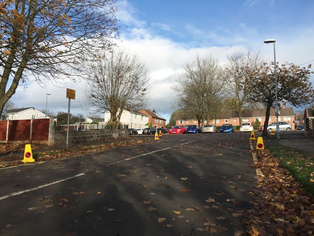
Image: © Jonathan Hutchins Taken: 13 Nov 2015
The no parking cones are to remind drivers not to block access to the adjacent primary school.
Images are licensed for reuse under creativecommons.org/licenses/by-sa/2.0
Image Location
Latitude
52.998629
Longitude
-2.208558