Garden for the Community 10
Introduction
The photograph on this page of Garden for the Community 10 by chris whitehouse as part of the Geograph project.
The Geograph project started in 2005 with the aim of publishing, organising and preserving representative images for every square kilometre of Great Britain, Ireland and the Isle of Man.

There are currently over 7.5m images from over 14,400 individuals and you can help contribute to the project by visiting https://www.geograph.org.uk
Garden for the Community 10
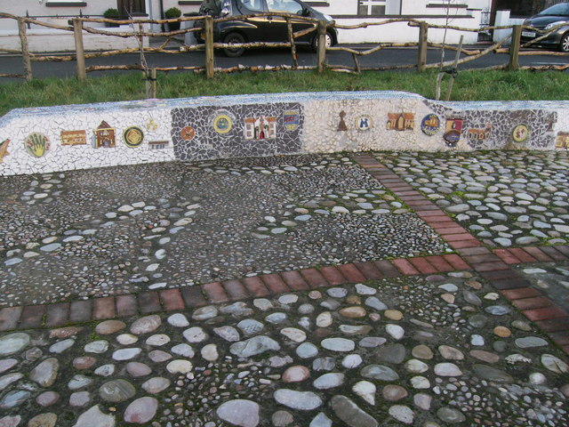
Image: © chris whitehouse Taken: 2 Jan 2015
This mural is a short way from the "totem pole", pebbles have been laid in pat terns and the low wall has mosaic pictures let into the surface made of coloured pieces of tile.
Images are licensed for reuse under creativecommons.org/licenses/by-sa/2.0
Image Location
Latitude
51.866238
Longitude
-4.272195