Horse chestnut, Clay Pit Road
Introduction
The photograph on this page of Horse chestnut, Clay Pit Road by Derek Harper as part of the Geograph project.
The Geograph project started in 2005 with the aim of publishing, organising and preserving representative images for every square kilometre of Great Britain, Ireland and the Isle of Man.

There are currently over 7.5m images from over 14,400 individuals and you can help contribute to the project by visiting https://www.geograph.org.uk
Horse chestnut, Clay Pit Road
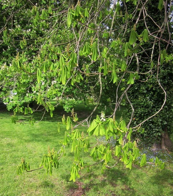
Image: © Derek Harper Taken: 1 May 2015
Newly unfurled leaves on a tree visible on the left of Image, on a corner of Durdham Down.
Images are licensed for reuse under creativecommons.org/licenses/by-sa/2.0
Image Location
Latitude
51.477027
Longitude
-2.6145