Birchwood Road, Lambs Corner
Introduction
The photograph on this page of Birchwood Road, Lambs Corner by Geographer as part of the Geograph project.
The Geograph project started in 2005 with the aim of publishing, organising and preserving representative images for every square kilometre of Great Britain, Ireland and the Isle of Man.

There are currently over 7.5m images from over 14,400 individuals and you can help contribute to the project by visiting https://www.geograph.org.uk
Birchwood Road, Lambs Corner
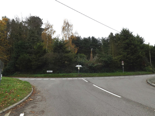
Image: © Geographer Taken: 10 Nov 2015
At the junction with the B1029 Grove Hill the B1029 Ardleigh Road at Lambs Corner
Images are licensed for reuse under creativecommons.org/licenses/by-sa/2.0
Image Location
Latitude
51.945231
Longitude
0.975504