Anti-tank Defences by the River Wey
Introduction
The photograph on this page of Anti-tank Defences by the River Wey by Peter Trimming as part of the Geograph project.
The Geograph project started in 2005 with the aim of publishing, organising and preserving representative images for every square kilometre of Great Britain, Ireland and the Isle of Man.

There are currently over 7.5m images from over 14,400 individuals and you can help contribute to the project by visiting https://www.geograph.org.uk
Anti-tank Defences by the River Wey
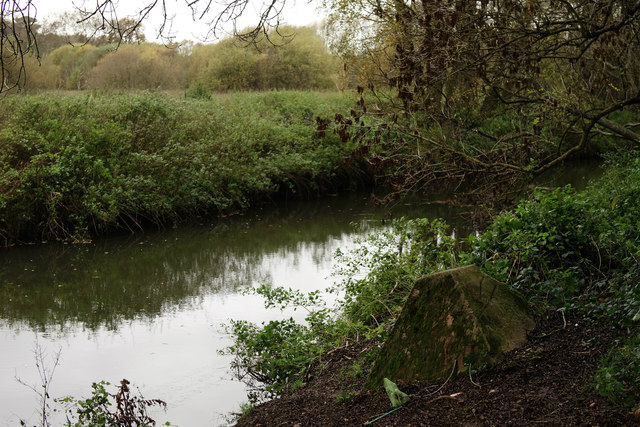
Image: © Peter Trimming Taken: 11 Nov 2015
Part of the GHQ Line A, the outer of three defence lines constructed to protect London from possible invasion during WW2.
Images are licensed for reuse under creativecommons.org/licenses/by-sa/2.0
Image Location
Latitude
51.214822
Longitude
-0.768813