Droitwich Household Waste and Recycling Site
Introduction
The photograph on this page of Droitwich Household Waste and Recycling Site by Jeff Gogarty as part of the Geograph project.
The Geograph project started in 2005 with the aim of publishing, organising and preserving representative images for every square kilometre of Great Britain, Ireland and the Isle of Man.

There are currently over 7.5m images from over 14,400 individuals and you can help contribute to the project by visiting https://www.geograph.org.uk
Droitwich Household Waste and Recycling Site
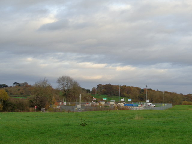
Image: © Jeff Gogarty Taken: 11 Nov 2015
The land in the foreground is landfill and any methane coming off it has to be burnt. To the left of the site is the Worcester - Birmingham Canal.
Images are licensed for reuse under creativecommons.org/licenses/by-sa/2.0
Image Location
Latitude
52.265379
Longitude
-2.110585