St Peter's School, Kingstown Road
Introduction
The photograph on this page of St Peter's School, Kingstown Road by Roger Templeman as part of the Geograph project.
The Geograph project started in 2005 with the aim of publishing, organising and preserving representative images for every square kilometre of Great Britain, Ireland and the Isle of Man.

There are currently over 7.5m images from over 14,400 individuals and you can help contribute to the project by visiting https://www.geograph.org.uk
St Peter's School, Kingstown Road
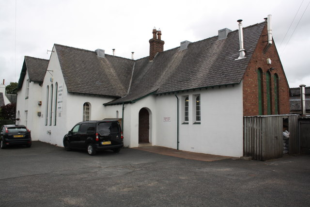
Image: © Roger Templeman Taken: 18 Jul 2015
Now houses a supplier of gas and electric fires and fireplaces. There is probably an Ordnance Survey flush bracket benchmark (see http://www.bench-marks.org.uk/bm10282 for details) on the brick face of the building behind the wooden lean-to.
Images are licensed for reuse under creativecommons.org/licenses/by-sa/2.0
Image Location
Latitude
54.922467
Longitude
-2.944382