Maida Hill Tunnel - west end
Introduction
The photograph on this page of Maida Hill Tunnel - west end by Robin Webster as part of the Geograph project.
The Geograph project started in 2005 with the aim of publishing, organising and preserving representative images for every square kilometre of Great Britain, Ireland and the Isle of Man.

There are currently over 7.5m images from over 14,400 individuals and you can help contribute to the project by visiting https://www.geograph.org.uk
Maida Hill Tunnel - west end
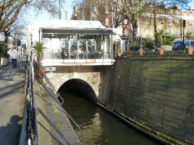
Image: © Robin Webster Taken: 12 Feb 2011
The shorter of the two tunnels on the Regent's Canal at 249 m, both without towpaths. The walking route is on the left, along Aberdeen Place, on top of the tunnel.
Images are licensed for reuse under creativecommons.org/licenses/by-sa/2.0
Image Location
Latitude
51.524452
Longitude
-0.177105