Field west of Rewe
Introduction
The photograph on this page of Field west of Rewe by David Smith as part of the Geograph project.
The Geograph project started in 2005 with the aim of publishing, organising and preserving representative images for every square kilometre of Great Britain, Ireland and the Isle of Man.

There are currently over 7.5m images from over 14,400 individuals and you can help contribute to the project by visiting https://www.geograph.org.uk
Field west of Rewe
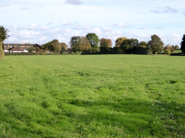
Image: © David Smith Taken: 25 Oct 2015
The OS maps marks two tumuli in this field, but there are no signs of them from ground level in this view
Images are licensed for reuse under creativecommons.org/licenses/by-sa/2.0
Image Location
Latitude
50.78765
Longitude
-3.501157