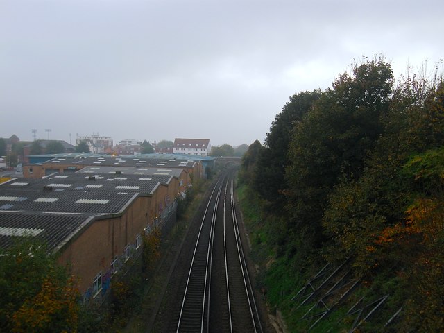
Coastway West
Introduction
The photograph on this page of Coastway West by Simon Carey as part of the Geograph project.
The Geograph project started in 2005 with the aim of publishing, organising and preserving representative images for every square kilometre of Great Britain, Ireland and the Isle of Man.
There are currently over 7.5m images from over 14,400 individuals and you can help contribute to the project by visiting https://www.geograph.org.uk

Image: © Simon Carey Taken: 1 Nov 2015
Viewed from Montefiore Road bridge and looking towards Holland Road bridge. The original Hove station was built on this side of the latter and operated from 1840 until the 1880s when it was closed being usurped by the current station that was built in the early 1860s. What did survive was an extensive goods yard to the left later known as Holland Road Goods Yard until that too closed around 1970. See https://www.flickr.com/photos/31890193@N08/13941540382/ for a view from Holland Road bridge taken in 1971. After the rails were lifted it became a builders yard with the current industrial estate not developed until the mid 1980s. Just visible on the left hand side are the floodlights belonging to the County Ground, Sussex.

