Kent Science Park from the south
Introduction
The photograph on this page of Kent Science Park from the south by Penny Mayes as part of the Geograph project.
The Geograph project started in 2005 with the aim of publishing, organising and preserving representative images for every square kilometre of Great Britain, Ireland and the Isle of Man.

There are currently over 7.5m images from over 14,400 individuals and you can help contribute to the project by visiting https://www.geograph.org.uk
Kent Science Park from the south
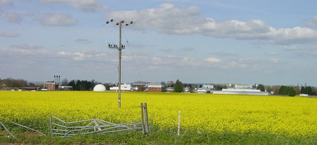
Image: © Penny Mayes Taken: 17 Apr 2005
Built as a Shell Agricultural Research centre there are proposals to expand the site, currently used by a variety of businesses some of which are science based.
Images are licensed for reuse under creativecommons.org/licenses/by-sa/2.0
Image Location
Latitude
51.311451
Longitude
0.724201