Aerial ropeway, south bank, River Aire, at Beal
Introduction
The photograph on this page of Aerial ropeway, south bank, River Aire, at Beal by Christine Johnstone as part of the Geograph project.
The Geograph project started in 2005 with the aim of publishing, organising and preserving representative images for every square kilometre of Great Britain, Ireland and the Isle of Man.

There are currently over 7.5m images from over 14,400 individuals and you can help contribute to the project by visiting https://www.geograph.org.uk
Aerial ropeway, south bank, River Aire, at Beal
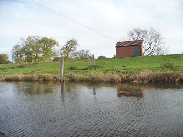
Image: © Christine Johnstone Taken: 30 Oct 2015
The 'engine shed' on the south bank. Presumably used by a farmer to move material across the river. The nearest farm [on the south bank] is Manor Farm.
Images are licensed for reuse under creativecommons.org/licenses/by-sa/2.0
Image Location
Latitude
53.722585
Longitude
-1.197215