Westerwood Farm Buildings
Introduction
The photograph on this page of Westerwood Farm Buildings by Derek Ferris as part of the Geograph project.
The Geograph project started in 2005 with the aim of publishing, organising and preserving representative images for every square kilometre of Great Britain, Ireland and the Isle of Man.

There are currently over 7.5m images from over 14,400 individuals and you can help contribute to the project by visiting https://www.geograph.org.uk
Westerwood Farm Buildings
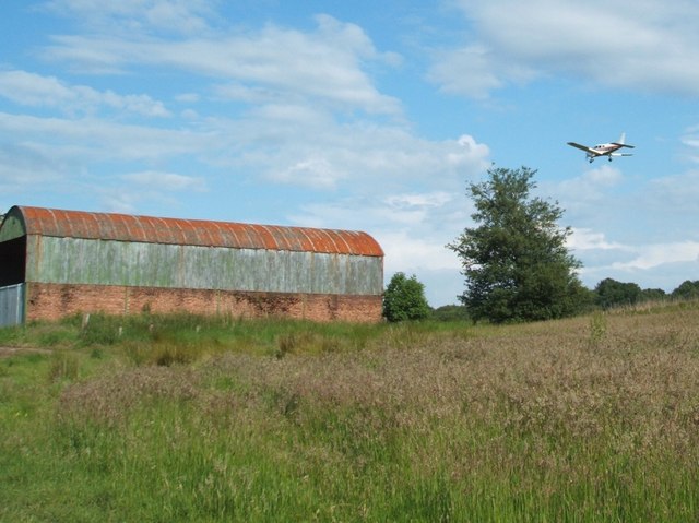
Image: © Derek Ferris Taken: 21 Jun 2007
Behind the large tree lies the third fairway, but don't worry the plane will carry on just a tad further to land at airport.
Images are licensed for reuse under creativecommons.org/licenses/by-sa/2.0
Image Location
Latitude
55.973285
Longitude
-3.986739