Cattle. Liney
Introduction
The photograph on this page of Cattle. Liney by Derek Harper as part of the Geograph project.
The Geograph project started in 2005 with the aim of publishing, organising and preserving representative images for every square kilometre of Great Britain, Ireland and the Isle of Man.

There are currently over 7.5m images from over 14,400 individuals and you can help contribute to the project by visiting https://www.geograph.org.uk
Cattle. Liney
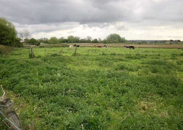
Image: © Derek Harper Taken: 25 Apr 2015
From the junction of Liney Road with footpath 40UC052 BW 36/8, which follows the track you can see bending around on the left. The further trees are among the northwest vestiges of Westonzoyland Airfield.
Images are licensed for reuse under creativecommons.org/licenses/by-sa/2.0
Image Location
Latitude
51.111767
Longitude
-2.917777