Cope Street, Rotherhithe
Introduction
The photograph on this page of Cope Street, Rotherhithe by Stephen McKay as part of the Geograph project.
The Geograph project started in 2005 with the aim of publishing, organising and preserving representative images for every square kilometre of Great Britain, Ireland and the Isle of Man.

There are currently over 7.5m images from over 14,400 individuals and you can help contribute to the project by visiting https://www.geograph.org.uk
Cope Street, Rotherhithe
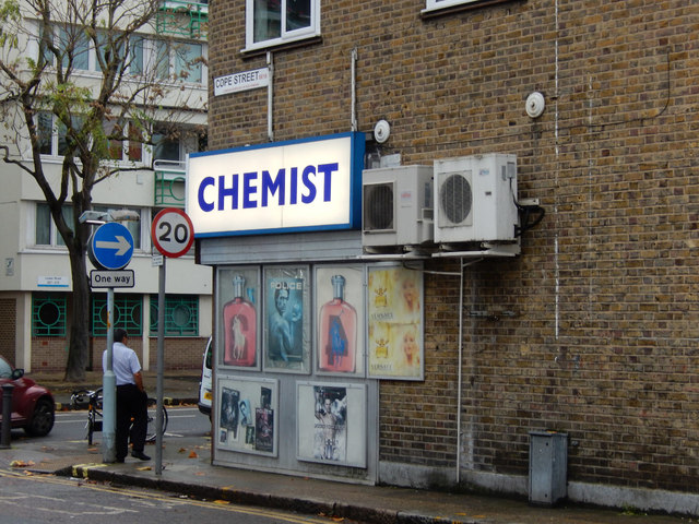
Image: © Stephen McKay Taken: 6 Nov 2015
Showing the junction with Lower Road in the Surrey Quays area. The use of the traditional 'chemist' for a pharmacy is generally dying out, but evidently not here.
Images are licensed for reuse under creativecommons.org/licenses/by-sa/2.0
Image Location
Latitude
51.492398
Longitude
-0.046141