Bridleway towards Combley Farm
Introduction
The photograph on this page of Bridleway towards Combley Farm by Graham Horn as part of the Geograph project.
The Geograph project started in 2005 with the aim of publishing, organising and preserving representative images for every square kilometre of Great Britain, Ireland and the Isle of Man.

There are currently over 7.5m images from over 14,400 individuals and you can help contribute to the project by visiting https://www.geograph.org.uk
Bridleway towards Combley Farm
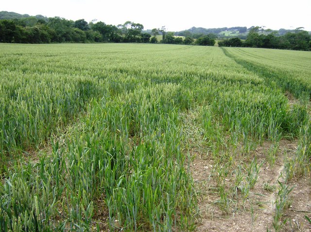
Image: © Graham Horn Taken: 16 Jun 2007
The bridleway goes across this wheat field running parallel to the dip slope of Arretton Down to the left.
Images are licensed for reuse under creativecommons.org/licenses/by-sa/2.0
Image Location
Latitude
50.687799
Longitude
-1.222496