Cycleway and footpath from Woodchester towards Nailsworth
Introduction
The photograph on this page of Cycleway and footpath from Woodchester towards Nailsworth by Jaggery as part of the Geograph project.
The Geograph project started in 2005 with the aim of publishing, organising and preserving representative images for every square kilometre of Great Britain, Ireland and the Isle of Man.

There are currently over 7.5m images from over 14,400 individuals and you can help contribute to the project by visiting https://www.geograph.org.uk
Cycleway and footpath from Woodchester towards Nailsworth
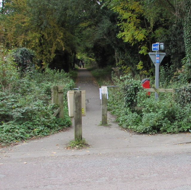
Image: © Jaggery Taken: 18 Oct 2015
Now part of National Cycle Network route 45, this route south alongside Nailsworth Stream uses the trackbed of a dismantled railway.
Images are licensed for reuse under creativecommons.org/licenses/by-sa/2.0
Image Location
Latitude
51.718119
Longitude
-2.230835