Surrey Quays Station
Introduction
The photograph on this page of Surrey Quays Station by Stephen McKay as part of the Geograph project.
The Geograph project started in 2005 with the aim of publishing, organising and preserving representative images for every square kilometre of Great Britain, Ireland and the Isle of Man.

There are currently over 7.5m images from over 14,400 individuals and you can help contribute to the project by visiting https://www.geograph.org.uk
Surrey Quays Station
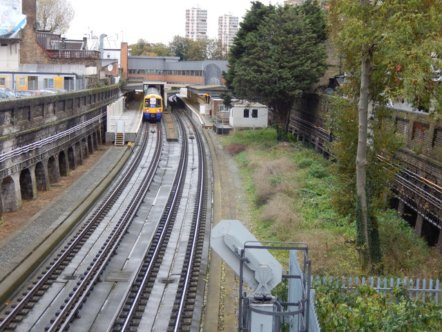
Image: © Stephen McKay Taken: 6 Nov 2015
This station was originally opened as Deptford Road in 1869, becoming Surrey Docks in 1911. The name was controversially changed to the more sanitised Surrey Quays in 1989, reflecting the name of a new shopping centre. It was closed as part of London underground's East London Line in 2007, reopening in 2010 as a part of the London Overground network.
Images are licensed for reuse under creativecommons.org/licenses/by-sa/2.0
Image Location
Latitude
51.492959
Longitude
-0.047413