Marsh Farm, Marshwood
Introduction
The photograph on this page of Marsh Farm, Marshwood by Derek Harper as part of the Geograph project.
The Geograph project started in 2005 with the aim of publishing, organising and preserving representative images for every square kilometre of Great Britain, Ireland and the Isle of Man.

There are currently over 7.5m images from over 14,400 individuals and you can help contribute to the project by visiting https://www.geograph.org.uk
Marsh Farm, Marshwood
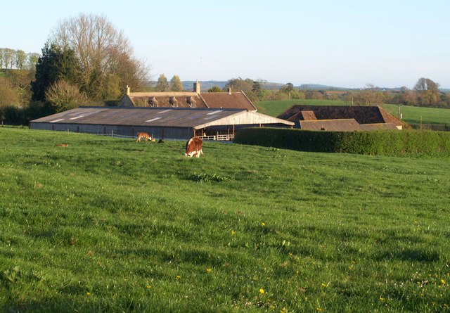
Image: © Derek Harper Taken: 22 Apr 2015
Looking left from the same spot as Image The farmhouse behind the modern barn is listed; it was burnt down in 1975 and rebuilt http://www.historicengland.org.uk/listing/the-list/list-entry/1220750 . Again the field is crossed by footpath W21 41.
Images are licensed for reuse under creativecommons.org/licenses/by-sa/2.0
Image Location


Leaflet Map data © OpenStreetMap
Latitude
50.801008
Longitude
-2.708041