The A485 to Tregaron, Ceredigion
Introduction
The photograph on this page of The A485 to Tregaron, Ceredigion by Roger D Kidd as part of the Geograph project.
The Geograph project started in 2005 with the aim of publishing, organising and preserving representative images for every square kilometre of Great Britain, Ireland and the Isle of Man.

There are currently over 7.5m images from over 14,400 individuals and you can help contribute to the project by visiting https://www.geograph.org.uk
The A485 to Tregaron, Ceredigion
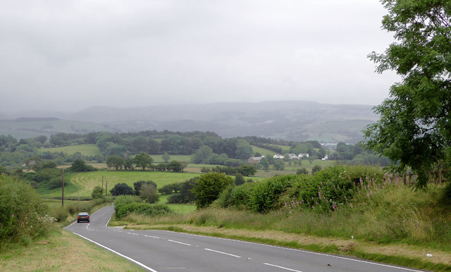
Image: © Roger D Kidd Taken: 14 Aug 2015
The road is descending here into the wide Teifi valley. On the far side are the foothills of the Elenydd moorlands, heavily clouded. The A485 from Aberystwyth passes through Tregaron, then on to Lampeter and Carmarthen.
Images are licensed for reuse under creativecommons.org/licenses/by-sa/2.0
Image Location
Latitude
52.249817
Longitude
-3.968859