Towards the SE edge of Caersws
Introduction
The photograph on this page of Towards the SE edge of Caersws by Jaggery as part of the Geograph project.
The Geograph project started in 2005 with the aim of publishing, organising and preserving representative images for every square kilometre of Great Britain, Ireland and the Isle of Man.

There are currently over 7.5m images from over 14,400 individuals and you can help contribute to the project by visiting https://www.geograph.org.uk
Towards the SE edge of Caersws
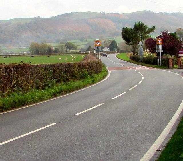
Image: © Jaggery Taken: 4 Nov 2015
South of the River Severn, the 30mph speed limit on the A470 increases to 50mph ahead. The grey backs of the Caersws boundary signs are below the 50 signs.
Images are licensed for reuse under creativecommons.org/licenses/by-sa/2.0
Image Location
Latitude
52.513771
Longitude
-3.426232