Lane to Cyncoed Farm
Introduction
The photograph on this page of Lane to Cyncoed Farm by M J Roscoe as part of the Geograph project.
The Geograph project started in 2005 with the aim of publishing, organising and preserving representative images for every square kilometre of Great Britain, Ireland and the Isle of Man.

There are currently over 7.5m images from over 14,400 individuals and you can help contribute to the project by visiting https://www.geograph.org.uk
Lane to Cyncoed Farm
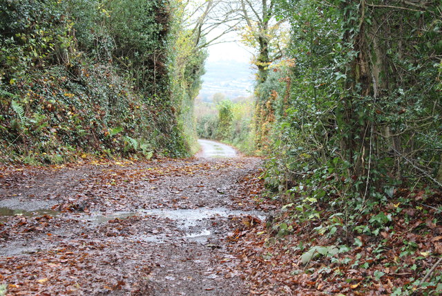
Image: © M J Roscoe Taken: 7 Nov 2015
Start of lane to farm, viewed from bend in road shown in Image A signposted footpath runs along the road.
Images are licensed for reuse under creativecommons.org/licenses/by-sa/2.0
Image Location
Latitude
51.672666
Longitude
-3.172024