Farmland east of Tyncelyn, Ceredigion
Introduction
The photograph on this page of Farmland east of Tyncelyn, Ceredigion by Roger D Kidd as part of the Geograph project.
The Geograph project started in 2005 with the aim of publishing, organising and preserving representative images for every square kilometre of Great Britain, Ireland and the Isle of Man.

There are currently over 7.5m images from over 14,400 individuals and you can help contribute to the project by visiting https://www.geograph.org.uk
Farmland east of Tyncelyn, Ceredigion
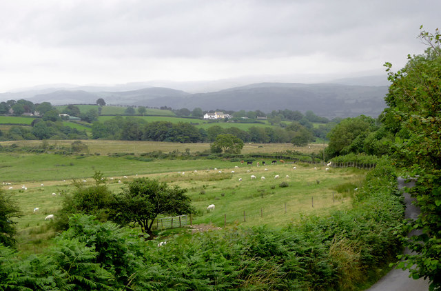
Image: © Roger D Kidd Taken: 14 Aug 2015
Seen from the A485 road junction near Castell Flemish. The narrow lane in the foreground leads towards Swyddffynnon. The buildings near the middle of the image are at Tynbwlch. The cloud covered moorlands of the Elenydd form the skyline.
Images are licensed for reuse under creativecommons.org/licenses/by-sa/2.0
Image Location
Latitude
52.251762
Longitude
-3.97085