The hedge topping Lane End Field Triangulation Pillar sprouting a Wind Turbine
Introduction
The photograph on this page of The hedge topping Lane End Field Triangulation Pillar sprouting a Wind Turbine by Peter Wood as part of the Geograph project.
The Geograph project started in 2005 with the aim of publishing, organising and preserving representative images for every square kilometre of Great Britain, Ireland and the Isle of Man.

There are currently over 7.5m images from over 14,400 individuals and you can help contribute to the project by visiting https://www.geograph.org.uk
The hedge topping Lane End Field Triangulation Pillar sprouting a Wind Turbine
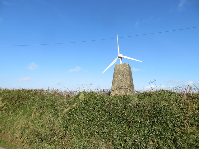
Image: © Peter Wood Taken: 31 Mar 2015
Looking south-eastward. Not sure where the Ordnance Survey got the name of this pillar from other than it is beside a lane at the end of a field.
Images are licensed for reuse under creativecommons.org/licenses/by-sa/2.0
Image Location
Latitude
50.62354
Longitude
-4.441552