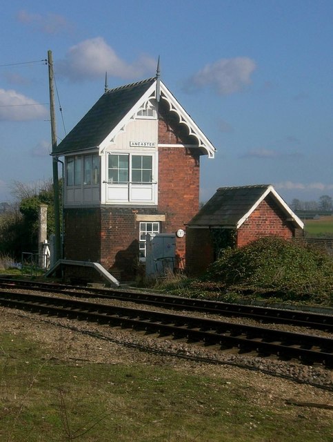
Ancaster signalbox from the north-west
Introduction
The photograph on this page of Ancaster signalbox from the north-west by Stefan Czapski as part of the Geograph project.
The Geograph project started in 2005 with the aim of publishing, organising and preserving representative images for every square kilometre of Great Britain, Ireland and the Isle of Man.
There are currently over 7.5m images from over 14,400 individuals and you can help contribute to the project by visiting https://www.geograph.org.uk

Image: © Stefan Czapski Taken: 31 Mar 2008
The signalbox stands just west of Ancaster station, which (in turn) lies to the west of High Dike (Ermine Street). The line is the old Great Northern's line from Grantham to Sleaford (and beyond), and the little signalbox still carries under its eaves the fancy barge-boards that were characteristic of GNR boxes. Alan Murray-Rust's contribution shows the box from the south http://www.geograph.org.uk/photo/4253520 while Richard Croft's shows the view from the station: http://www.geograph.org.uk/photo/4412344

