Manthrig Brook, Caersws
Introduction
The photograph on this page of Manthrig Brook, Caersws by Jaggery as part of the Geograph project.
The Geograph project started in 2005 with the aim of publishing, organising and preserving representative images for every square kilometre of Great Britain, Ireland and the Isle of Man.

There are currently over 7.5m images from over 14,400 individuals and you can help contribute to the project by visiting https://www.geograph.org.uk
Manthrig Brook, Caersws
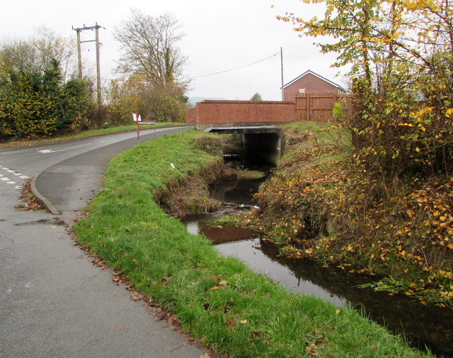
Image: © Jaggery Taken: 4 Nov 2015
A tributary of the River Severn, Manthrig Brook flows under Llys Rhufain, http://www.geograph.org.uk/photo/4731697 viewed from Manthrig Lane.
Images are licensed for reuse under creativecommons.org/licenses/by-sa/2.0
Image Location
Latitude
52.51779
Longitude
-3.428426